The Royal Chilterns Way is one of those routes that feels like it shouldn’t exist: a proper off-road bikepacking loop with chalk ridgelines, woodland trails, quiet lanes, historic towns, and café stops… all within easy reach of London.
Whether you’re planning to ride it self-supported with bags on the bike, or you’d rather take it on with a supported group (gear carried, logistics sorted), this guide pulls together everything you need – what the route is, where to find a Royal Chilterns Way map, how to follow it with GPX/Komoot, how hard it really is, and what a realistic itinerary can look like.
If you’re looking for the easiest way to ride it as a 4-day adventure with a friendly team around you, check out our Royal Chilterns Way supported trip.
What is the Royal Chilterns Way?
The Royal Chilterns Way is a long-distance off-road loop through the Chiltern Hills, starting and finishing in Reading. It blends gravel paths, forest trails, chalk tracks and quiet country lanes, with plenty of historic villages (and plenty of cafés, pubs and farm shops) along the way.
Starting in the city of Reading, you’ll pedal through royal history at Reading Abbey, follow the riverside around Henley-on-Thames, and roll through some of the Chilterns’ most scenic countryside.
Royal Chilterns Way route map, GPX + Komoot
If you’re searching for “Royal Chilterns Way map” or “Royal Chilterns Way GPX”, you’re not alone. Navigation is one of the first things people want for a route like this.
Royal Chilterns Way map (overview)
If you simply want to see where the route goes, explore the Royal Chilterns Way route here.
For GPX and app-specific navigation, we recommend using Cycling UK’s official resources.
Prefer following on Komoot? – look no further.
GPX + Komoot basics (quick tips)
- Download offline maps before you set off (signal can be patchy in woodland/valleys).
- Carry a battery pack if you’re navigating on your phone.
- Keep a backup (a second device, or a saved file) if you can.
How long is the Royal Chilterns Way cycle route?
The route is around 174 miles, making it a brilliant long-weekend challenge big enough to feel like a true adventure, but short enough to tackle without taking weeks off work or study.
Most riders choose 3-6 days depending on fitness, how much exploring they want to do, and whether they’re carrying full bikepacking gear.
How hard is the Royal Chilterns Way?
This route is rarely “technical”, but it can still feel tough. Mainly because the Chilterns are full of short, punchy climbs, and off-road riding takes more energy than road miles.
On our supported trip, riders cover around 11,100 feet of elevation gain across four days, with a mix of steep little ramps and rolling stretches.
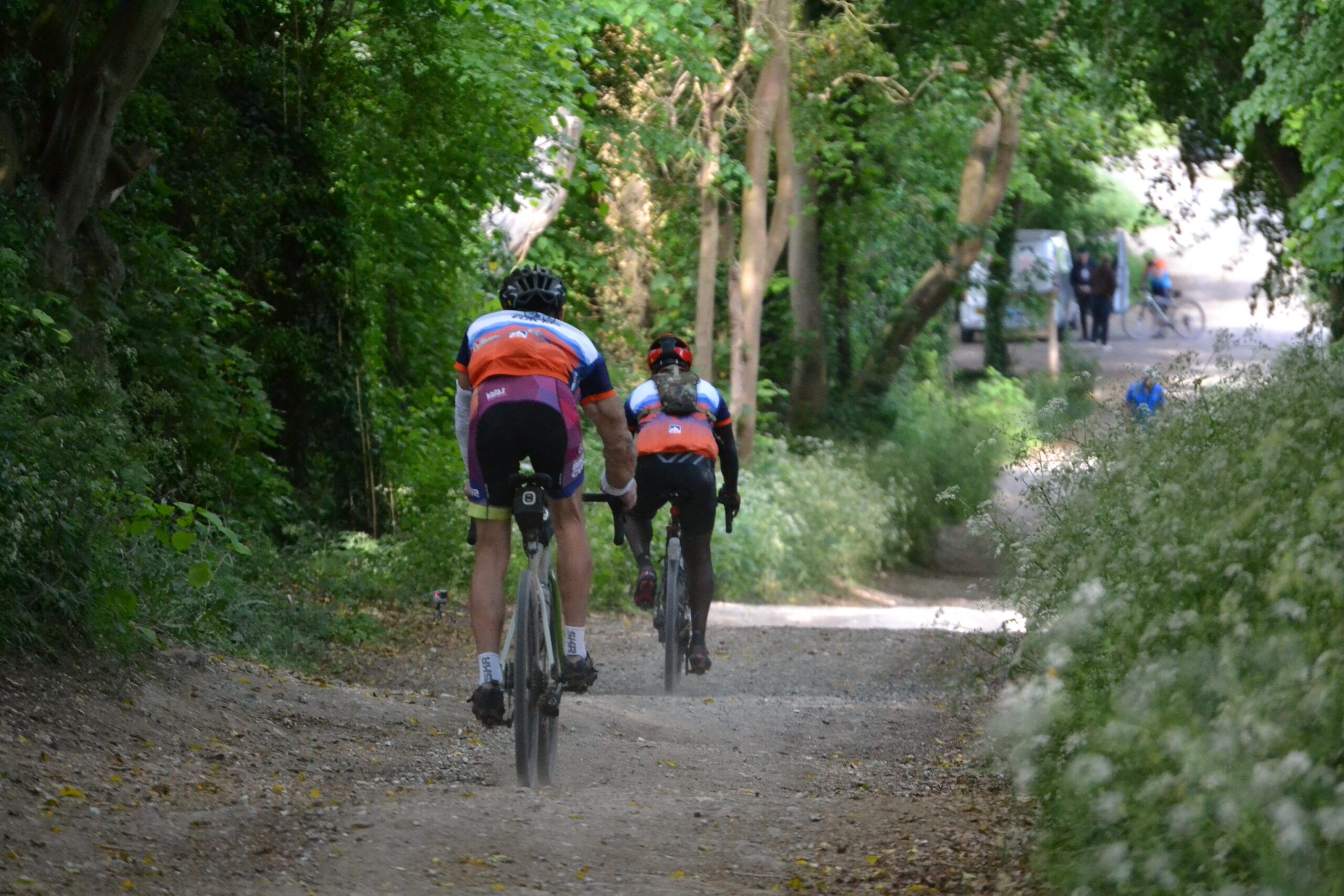
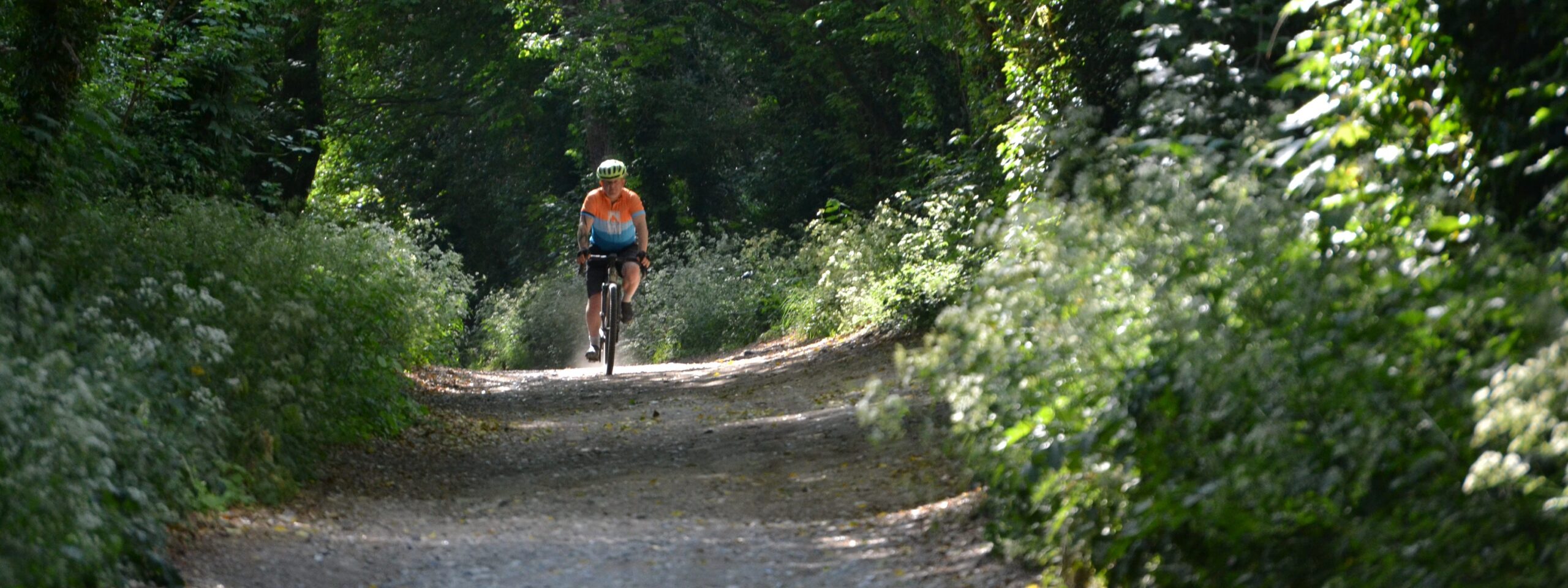
What’s the terrain like (and what bike should you ride)?
The Royal Chilterns Way is a true mixed-terrain ride: gravel paths, forest trails, chalk tracks and quiet country lanes.
A gravel bike is perfect for many riders, while a hardtail MTB can be a great option if you want extra comfort and confidence on rougher sections.
Tyre choice matters. If it’s dry, a fast-rolling tread can fly. If it’s wet, you’ll want more grip. Chalk can get slippery and any muddier stretches can feel draggy.
Route highlights. What you’ll actually see
- Reading Abbey and the launch out of Reading
- Henley-on-Thames riverside riding
- Classic Chiltern villages with frequent café stops
- Woodland and chalk ridge scenery that feels surprisingly remote for the South East
Suggested Royal Chilterns Way itinerary (4-day ride)
A 4-day itinerary is one of the most popular ways to ride the route. Enough time to keep your days achievable while still feeling like a real adventure.
- Day 1: Reading → Princes Risborough (approx. 44 miles)
- Day 2: Princes Risborough → Pitstone (approx. 46 miles)
- Day 3: Pitstone → Marlow (approx. 44 miles)
- Day 4: Marlow → Reading (approx. 44 miles)
Want the bigger picture before you commit? See the route map here.
Self-supported vs supported bike tour. Which is right?
Riding self-supported can be wonderfully freeing. You’re on your own schedule, carry the gear you need for the adventure, and you can be your own guide.
But it also comes with trade-offs: planning where you’ll sleep, carrying extra weight over steep climbs, handling mechanicals solo, and navigating when you’re tired.
A supported ride keeps the adventure, but removes a lot of the stress. That’s exactly what we offer on our Royal Chilterns Way supported trip.
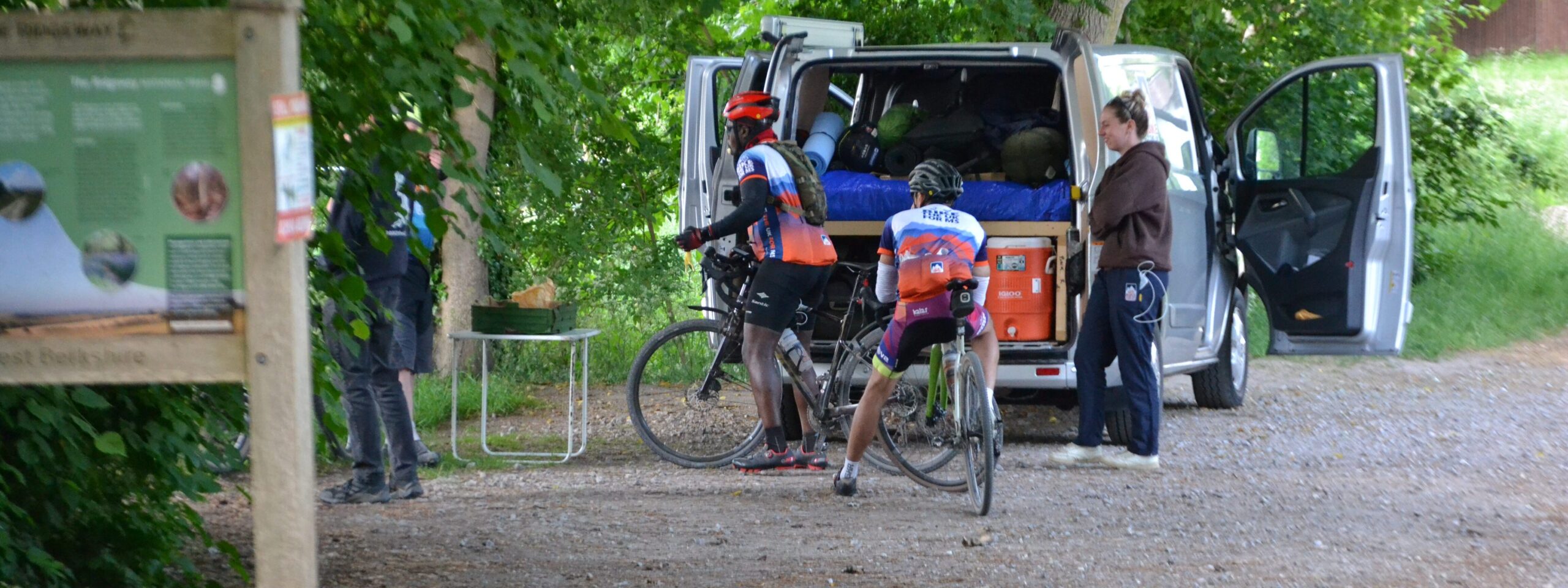
Cycle the Royal Chilterns Way with Bike the UK for MS (2026)
We’re running the Royal Chilterns Way as a 4-day supported off-road loop from Reading, from 28 August – 1 September 2026.
- Distance: 174 miles
- Elevation: 11,100 feet
- Style: Off-road loop through the Chiltern Hills
- Fundraising target: £275 (with just a £25 initial sign-up donation)
- Accommodation: a mix of camping, churches, town halls and community centres (with options to book alternatives if preferred)
- Support: a supported bike tour, so you can focus on riding and enjoying the adventure
Register for the ride
Not sure yet? Register your interest
Final thoughts
If the Royal Chilterns Way is on your list, you’ve got two great options: plan it self-supported and build your own adventure, or join a supported group ride where the logistics are handled and you’re riding for a great cause.
If you’re curious, start with the route map.
Then head to our Royal Chilterns Way page to see what the trip is like.
And when you’re ready, register here.